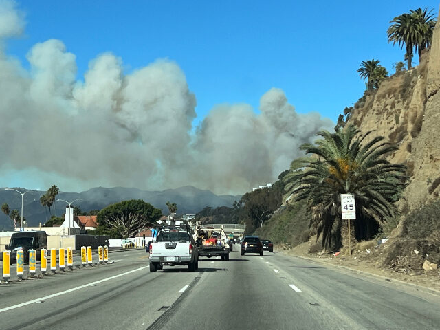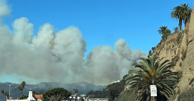
CalFire, the California Department of Forestry & Fire Prevention, has released a 3D interactive map that offers a detailed look at the multiple fires raging around Los Angeles. The map shows the perimeter of the Palisades fire and evacuation zones for multiple other fires in Los Angeles.
KTLA reports that as multiple fires rage throughout Los Angeles, the California Department of Forestry & Fire Prevention (CalFire) has released an interactive, three-dimensional map to help residents stay informed about the wildfire’s progress and affected areas. The map, accessible to the public, provides a real-time view of the Palisades fire’s perimeter and the mandatory evacuation orders and warnings in place.
The map is also available here in a format that allows users to remove layers like evacuation zones if they only wish to see the area of the fire itself.
The Palisades Fire, which erupted on Tuesday afternoon, has rapidly expanded, scorching over 2,900 acres by 6:30 p.m. The interactive map allows users to pan and zoom to see the fire’s location in relation to other parts of Los Angeles, such as Santa Monica, Malibu, and the San Fernando Valley. This tool has become increasingly crucial for residents to stay updated on the wildfire’s progression and to make informed decisions about their safety.
Breitbart News has reported heavily on the fire, with editor Joel B. Pollak writing:
The fast-burning wildfire that broke out in the mountains above Pacific Palisades amid extreme high winds on Tuesday morning threatened homes and the local public school, which was evacuated.
The fire broke out in the brush near the Paseo Miramar neighborhood, above, Palisades Drive and spread quickly.
One witness told Breitbart News that she saw homes and cars burning, and that embers had leapt across the canyon to the neighborhood of Marquez Knolls.
The flames moved quickly. One local resident reported that people on Palisades Drive simply abandoned their cars and ran in the direction of the ocean.
There were no reports yet of injuries or deaths, nor about a cause of the fire.
Residents were forced to pack quickly and to leave the area. Some were irate at the Los Angeles Unified School District, which required parents to fill out forms before picking up their children, taking up precious time.
According to the latest reports, an unknown number of homes have been damaged and destroyed by the fast-moving blaze. However, there have been no immediate reports of injuries. Firefighters are working tirelessly to contain the fire, but the cause of the blaze remains under investigation.
Read more about the interactive map at KTLA here.
Lucas Nolan is a reporter for Breitbart News covering issues of free speech and online censorship.


