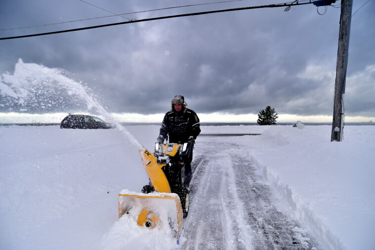
BUFFALO, N.Y. – Nearly 1 million people in the state of New York are under Lake-Effect Snow Warnings on Monday, concentrated mostly in the areas south of Buffalo and around Watertown.
This is the first day of what the FOX Forecast Center expects to be multiple rounds of lake-effect snow lasting through midweek, primarily impacting the southern shore of Lake Erie from Erie, Pennsylvania, to near and south of Buffalo, as well as the eastern shore of Lake Ontario across the Tug Hill Plateau and Watertown area.
This region has seen some of the most snow in the country this winter season.
On Monday, the FOX Forecast Center is tracking the potential for snow squalls during the midday and afternoon hours in Pennsylvania and western, central and upstate New York, which could impact travel.
These events bring quick bursts of snow, which produce poor driving conditions, including periods of low visibility and gusty winds.
New York Gov. Kathy Hochul announced on Sunday that crews across the state were getting into position to deal with the snow.
“We are closely monitoring the lake-effect snow system moving through parts of our state, and doing everything we can to make sure we are prepared,” said Hochul in a news release.

The heaviest snowfall is expected to target the southern shore of Lake Erie from Erie to near and south of Buffalo and the eastern shore of Lake Ontario around the Watertown area. Snowfall totals in these locations could exceed a foot, with more than 2 feet likely to pile up south of Watertown over the Tug Hill Plateau.
This is the fourth major lake-effect snow event for that region this season, including a snow band that set up during the morning rush hour just south of Buffalo in mid-December causing several crashes and snarling traffic along Interstate 90.
A common pattern this winter has brought the highest snow totals and heaviest lake-effect snow bands skewing towards Erie along the I-90 corridor.

Erie has been walloped by 81.3 inches of snow this season, while Buffalo has received significantly less snow with 27.8 inches, according to the National Weather Service.
While this lake-effect event is not expected to reach the intensity of previous lake-effect snow events this season, it will still add significantly to the region’s snow totals.
Watertown, for example, has received 68 inches of snow so far this winter.
This same lake-effect snow event is expected to bring snow to Michigan’s Upper Peninsula and the state’s western shores along Lake Michigan.


