
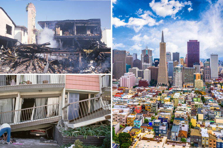

Several major metropolitan areas are in considerable danger of disastrous “earthquake shaking” from upcoming geological events, according to a new statewide shaking-intensity map.
The California Geologic Survey released a color map Thursday showing “earthquake shaking potential” for the Golden State over time.
Most of the potentially damaging shaking is near the state’s fault zones, scientists said.
“The highest expected shaking is near major fault zones, but damaging shaking is possible anywhere in CA,” officials said. “The shaking potential shown is not from a single earthquake, but what an area could experience over time.”


San Francisco and the Bay Area could be impacted the most by shaking in the future, according to the map. The San Andreas and Hayward Faults run through the area.
San Francisco and Oakland appear to be subject to the map’s class “XI” category, which sees “devastating shaking” that will leave few structures left, bridges destroyed, fissures in the ground, pipes broken, and damaging landslides.


Federal scientists previously estimated a 74.1% chance of Bay Area residents experiencing a magnitude 6.7 or stronger earthquake over the next 30 years.

Most of Los Angeles would also see considerable shaking in the future, but in the lesser “X” category of “extreme shaking.”
The category calls for “most masonry and frame structures destroyed, ground cracked, and landslides.”
Los Angeles saw its last major earthquake in the 1994 Northridge disaster. A major earthquake of magnitude 6.7 struck the Los Angeles area, causing dozens of deaths and injuring thousands. It collapsed structures, buckled houses, and caused billions of dollars in damage.
Other areas in the state, like the Sierras, will have minimal risk of earthquakes in the coming years, according to the map. The Sacramento area will also see less severe effects.

Conversations about the next “Big One” have continued for years in California with wide concern about the San Andreas Fault rupturing.
A chilling study recently reignited concerns over the San Andreas Fault, with experts warning the catastrophic “Big One” may strike sooner than previously thought.
Caltech seismologist Dr. Lucy Jones, who developed a magnitude 7.8 San Andreas rupture scenario, warns the disaster would be far more than a brief jolt — her models show it would unleash widespread, devastating impacts across California.
Simulations suggest the quake would unleash nearly two minutes of violent, nonstop shaking, causing deadly gridlock and crippling critical infrastructure, including water systems that cross the fault line.