
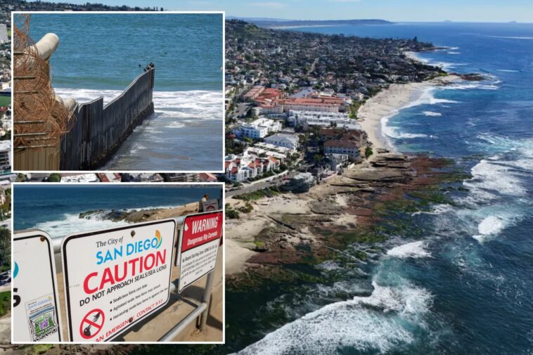

Dozens of iconic locations along San Diego’s coastline are bracing for a severe compound threat as forecasts point toward a Super El Niño.
The region faces a convergence of beach erosion, cliff collapses, and severe coastal flooding. Experts warn that these combined forces could permanently alter the region’s coastline and reshape the southern California shore.

“Powerful waves can accelerate erosion of beaches, sea cliffs, and bluffs, and cause coastal flooding; and strong El Niño conditions can raise sea level on the California coast by 6 to 13 inches,” said Adam Young, researcher at Scripps Institution of Oceanography, UC San Diego.


“Combined, these factors increase coastal erosion and flooding during El Niño events, which can threaten public parks, beaches, critical infrastructure, highways, and homes,” he added.
The state’s entire coast has been scanned six times since 2023 by the California Coastline Survey, a state-funded initiative based out of the Air-Sea Interaction Laboratory at Scripps. Researchers plan to survey the coastline again in the fall of 2026 and spring of 2027 to quantify coastal erosion from the upcoming El Niño.
The San Diego City Council adopted its Coastal Resilience Master Plan in September 2025 in response to rising sea levels and identified La Jolla Shores, Tourmaline Surf Park, Mission Beach, Ocean Beach, and Sunset Cliffs as critical project sites.


City spokesman Peter Kelly told the Times of San Diego that resilience projects at La Jolla Shores and Mission Beach have not advanced beyond conceptual designs due to funding issues. But, projects at Tourmaline, Ocean Beach, and Sunset Cliffs are now in the initial engineering design phase.
The city is also installing sand berms along the shoreline of Mission Bay and other beaches to absorb heavy surf and reduce coastal damage.
Vulnerabilities stretch continuously from North County down to the South Bay. According to the Times, San Onofre State Beach faces ongoing erosion that is slowly stripping away the sandstone supporting Interstate 5.


Oceanside suffers up to 6.6 feet of beach retreat annually south of its harbor, requiring massive Army Corps dredging projects such as the 236,590 cubic yards moved by CJW Construction following the 2015-2016 storm season.
Meanwhile, coastal lagoons risk inlet blockages as powerful waves pile sand onto estuaries, and fragile bluffs from Carlsbad to Del Mar remain prime targets for destabilization when heavy rain combines with wave action.
“Any homes on the cliffs are going to be in danger this year,” Lisa Chaddock, a physical science professor at San Diego City College, told the Times of San Diego.
Chaddock added that heavy rainfall and rising sea levels could worsen South Bay’s sewage crisis by spreading pollution further north.