
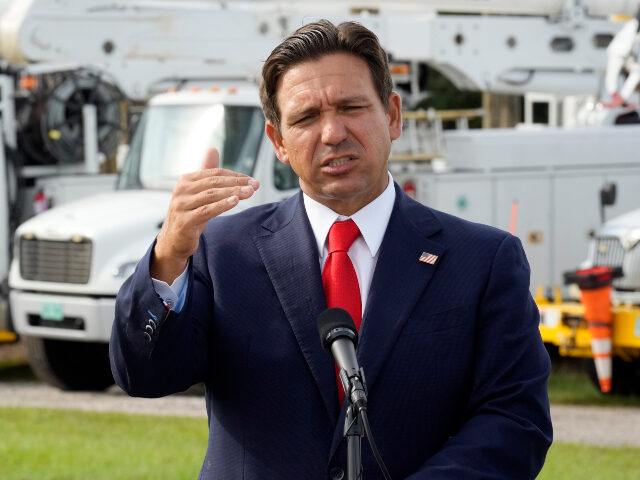
Florida is taking Hurricane Isaias “very, very seriously,” and this is going to be a “major event” with impacts “far beyond” the coast, Gov. Ron DeSantis (R) said ahead of the storm making landfall.
DeSantis spoke ahead of Hurricane Isaias’s official landfall – expected somewhere in the northwest Florida Panhandle – and assured that “resources have been flowing” and preparations have been “extensive.”
“We are taking this storm very, very seriously. We were reminiscing a little bit about Sally and the differences between that and there, Pensacola wasn’t even in the cone for Sally. It kind of shifted late, and the response was good, but there wasn’t the view of going in three or four days out that there was going to be a major event,” DeSantis said, comparing the storms and stressing that officials now know that this is going to be a “major event in one way or another.”
“There’s going to be major impacts throughout the Florida Panhandle. Everyone has understood that, and everyone’s really been working together to make sure that we are ready to go,” he said.
The governor also noted that Hurricane Isaias has rapidly strengthened as forecast and now stands as a major Category 3 hurricane, with sustained winds approaching 120 miles per hour. However, he said the forecast does expect the storm to weaken before landfall “because of the significant wind shear.”
“Let’s hope that that’s the case, but we are planning to assume that that will not happen and that it will make landfall as a major hurricane. We are going to be monitoring that, obviously, throughout the course of the day,” he said.
DeSantis also warned of “significant storm surge” in surrounding areas.
“I’ve been doing these storms for a number of years now. I can tell you that if you have a Category 3 storm come to the panhandle, most of the structures, particularly that have been built this century, because the building codes are probably going to be able to withstand that wind damage – doesn’t mean there’s not going to be wind damage throughout the community. There will be,” he said, noting that a storm surge is what really puts lives in danger.
“The surge is really what puts a lot of people’s lives in jeopardy if they haven’t heeded evacuation orders, and does the most significant damage from these storms. And so that is a possibility everywhere — from Pensacola all the way into the Big Bend section of North Florida you could see storm surge. So please take caution of that,” he said, adding that the storm’s impact will go far beyond where it makes landfall [emphasis added]:
And we always say, you know, you hide from the wind, but you run from the water. When the water’s rising and things are happening, it’s a very, very difficult conundrum, and you do not want to be caught in that. We are going to see higher water levels throughout not just the Panhandle, but throughout other parts of northern Florida, even throughout parts of central Florida, because of the outer band. Some of these areas are already saturated, so you’re dumping more water on. That is going to create a rise in water. There is going to be an increased risk of flood. Our first responders are keyed into that, and a lot of times we focus on where it hits land, and that’s important — where it enters. But you’re going to continue to see impacts far beyond just the coast here in Northwest Florida.
Further, DeSantis told those in the storm’s path that they should expect power outages, but said they already have “16,000 linemen and other associated personnel who are mobilized and will stand by and be ready to go for quick power restoration.”
WATCH: